Tuesday, August 26, 2014

8/17 Mt. Jackson

Jackson, I took a coworker up for her first 48, she was an avid photographer, and honestly her talent exceeds mine ten fold. On to the mountain..Jackson, from all my weather reports 72 degrees sunny perfect day for a hike..weather disagrees, cold raining fun. Even the sky was not forgiving for the most part of the day. Whiteouts and fog, but you know what good company and a good trail, it doesn't matter.
2.5 Miles no problem right...
The trails, were a mighty muddy, and wet, the trees and mushrooms vibriant with color. Lots of fallen trees, overflowing streams, and my favorite thing in the world, wet rocks and roots. The hike itself, i would consider on a normal day easy. This day even with things being a bit wet, not so bad. There is a sweet overlook of the AMC center, right at the start. I think this was the only clear view of any distance i got before things turned white with fog.
Amc center looking down plus Saco Lake
About half way up, we met this guy who was training to run the presidents for some challenge, i guess there is a timed how fast you can cross all of the presidents, I guess after seeing all 48 that might be amazing, but I hike not to rush but to surround myself with nature and find peace. After hearing his tale, we said our goodbyes and moved on up to the next trail to the peak.
Almost there!
From this sign its pretty, much lots of falling trees including across the path, some evil looking roots, and alot of fog. Deep mud, and spooky looking mushrooms, so pretty much what I'm saying its awesome. We got to the peak, its a straight shot up some rocks to the sign but you couldn't see anything five feet in front of you. The wind was cold and forceful, we got a picture and tried to head down to Webster, instead I took us the wrong way trying to get off the summit fast. I mean it was brutal cold winds. We ended up at the Mizpah spring hut, which added some miles on.
Stephen Kings the mist anyone?
Overall a nice wet, crazy trail day, totally enjoyed it. Another 4000fter off the list.
Keep going friends.


July 18th Seek the Peak Mt. Washington

My words here will be humbled, as this mountain made me aware of how small I am compared to the world. This was a fundraiser for the Obs, I had lots of great people and several companies donate to me, and i felt really good about how well I did. Bucklers, MJ Quaility tire, Charr Custom Boats, Kingman Yatch and a bunch of my friends all really kicked ass. We started early, and Ian who has hiked Washington before many times lead the way. It's great to do something like this with someone that knows pretty everything about outdoors in this world. A great teacher and friend, he took us up the Tuckermans Ravine trail.
Here we go!
The trail up to the base area is what you would expect, alot of rock, alot of water falls and 3 bridges, when you hit the last bridge you know you have about quarter of a mile till base. Where the real amazing views start, don't get me wrong I probelly took about a hundred pictures just on this little part but when you hit the base, you are like blown away in awe.  So to kinda describe what happens, you come out of the woods, you see this mid area cabin, and boom, like a giant bolt of holy crap batman, you are surrounded. I seriously stopped in my tracks for a good view and was completely silent.
Hillman's in the background.


From there, you think wow, this can't get more amazing but friends, it does, we hiked up the trail after having a snack and some pictures of some mini falls, a bear bag, and working on how to better my macro shots. And headed towards Lunch rock, this was a semi tough trail, alot of gripping some tree limbs at points to pull yourself up, and a couple of steep step ups on rocks, but overall not what i was expecting. I thought this would be breakneck, toughest mother in the world. So far in my head so good. About half way through this there is a mini cave we sat down took some more pictures of the falls, yes I know I'm not showing you everything Washington needs to be explored..once in your lifetime go, if you do nothing else in life. Do this.
Ian, shortly before Lunch Rock and the cave area.
After you get through this area and hit the peak of Tuckerman's this is where the real pain actually starts, its called Boulder valley, and the reason is, every rock is a boulder the size of a volvo. This to me is why they say hardest mountain in new england, I struggled, long jumps and long strides put a beating on your knees. I think I actually said we needed to stop twice on this, and for me I rarely say hey slow down.  Let's just say go slow, look at your next step, and don't rush easily you can hurt yourself.
Lower part of Boulder, its gets harder.
After the boulder monsters, you hit the peak,where there are most likely alot of hikers who worked hard to get up there, but there is also people who drove up there. All wanting that Mt.Washington Sign picture. We had real food at the top, and refueled. We would take Lion's head down,which ment another round of boulders. Lion's head, looks over the entire valley, breathtaking, on our way down, we met some first time hikers from all over who looked lost and ended up leading them down. Made new friends on the way down, and hopefully when they get back out to new england we can meet up and take them on another adventure. Imagine that, your first hike, you take on the hardest in new england, that just rules.
To sum up this day, Hike Washington, do Seek the Peak, make a difference, bring your friends, your adventure is waiting for you..


Monday, July 7, 2014

Mount Cannon July 6th

 9 Am meet up at the tram parking lot to start off, this trail is rated moderate due to slippery gravel, but honestly this has been the easiest out of all the ones I have done. I enjoyed the pace, there was only one section which i slide on, and that was on the way down, wet rocks and sneakers, not so good of a mix. The views from Cannon are breath taking, but the trail itself isn't anything crazy to write about. This is 100 percently a great trail to take people new to hiking on. You get some amazing distance views as well as not alot of pressure on any part of the legs. No giant inclines that make you go this feels steep, the trail itself took us maybe an hour and a half and that was taking alot of time for pictures and small talk. I had great company in my friend Michelle who is working on the 48 herself, so knocking out one with her was a blast.
On top of Old man on the Mountain.
There are alot of little neat stop and view area's on the way up, great view of the pond, the parking lot and 93, plus pretty much every surrounding range in the distance. From Old man to the Summit, you climb over alot of muddy region, but nothing you need to worry about, step on the rocks, and branchs, and you are golden. The incline from the mud to the tower is very short, and I felt very good about it. You have a killer view as you go up looking down on everything.
Looking down, close to the tower
Finally the "peak" label is behind roped off area, but its two steps in you can see, it and walk to it, which makes this hike done! A great time, I would say anyone starting off should consider this as a knock out first timer. As always keep on walking...
If you take anything away from this post...i want you to take this away with you....best bench ever...
This is how i feel about all my friends..

Sunday, June 22, 2014

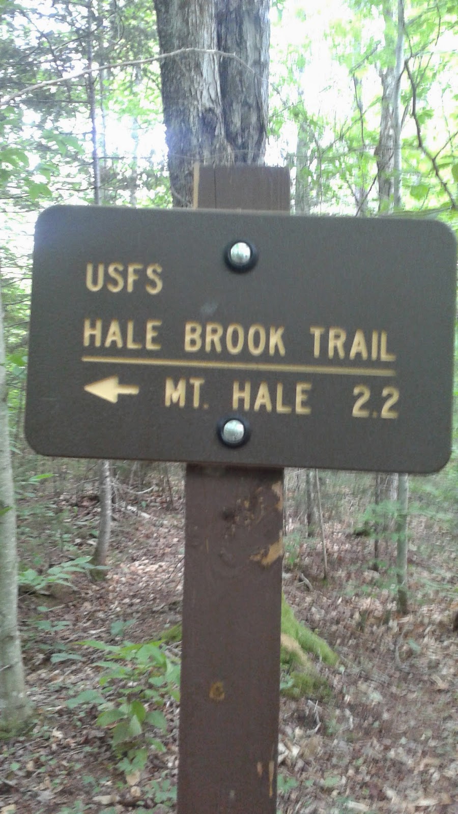
Mount Hale 6-21-14

Mount Hale, is actually a bit of a ride for me, left the cape at 7am arriving at the beginning of the trail around 11, granted, I had several stops on the way to, almost a three and a half hour drive. Hale is right down the street from Brentton woods, so i kinda get easy directions, even if the GPS lied to me and got me lost once...or twice.
   Let us begin my friends...Hale Brook Trail, starts actually very mild, slow even. But it has alot of mini brooks running through it. The entire surrounding area is green, you feel like you are in a lush area. Lots of falling trees and brooks, most of the brooks have nothing to cross then, you are rock jumping or finding a falling tree. Which to me is fine, nothing like a natural trail. If i recall correctly there was only one or maybe two sets of wooden steps, for the first two miles.
Not a bad walk on a saturday.
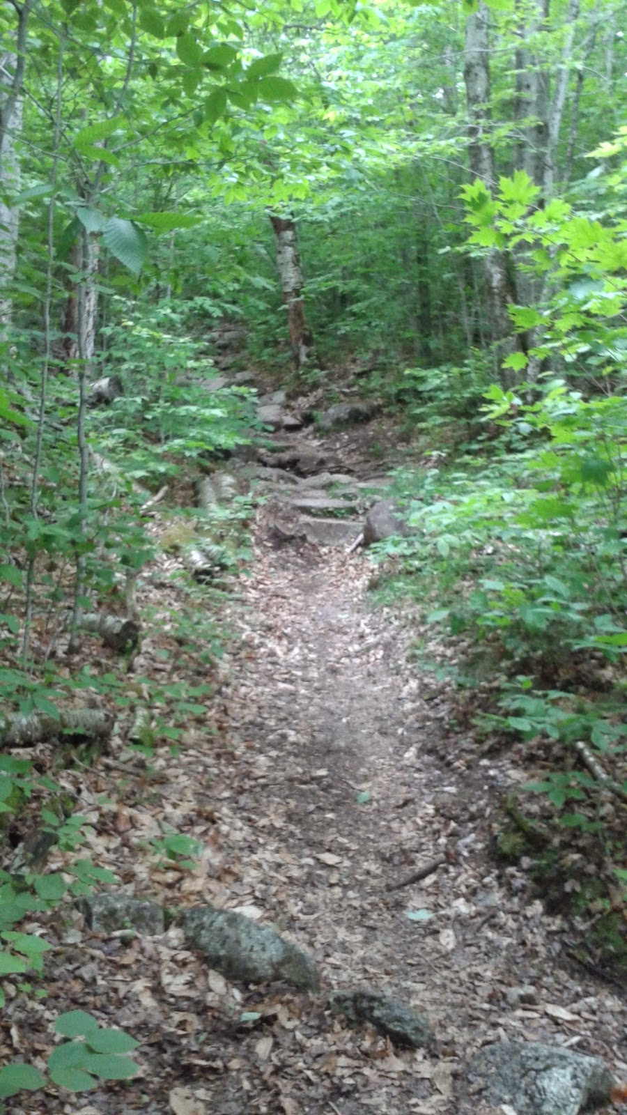
What I did enjoy about this trail alot, no rooted trails, as most of my hiking friends will say, I trip on roots or rock, wet roots, wet rocks, makes Doot fall on his face. Sand, gravel, pretty much all the way up to the top. There are some rock switch backs here and there, this used to be an old donkey trail according to locals. Lots and lots of stuff to look at, falling trees, flowers, and brooks.
This it basically the make up of the entire trail.
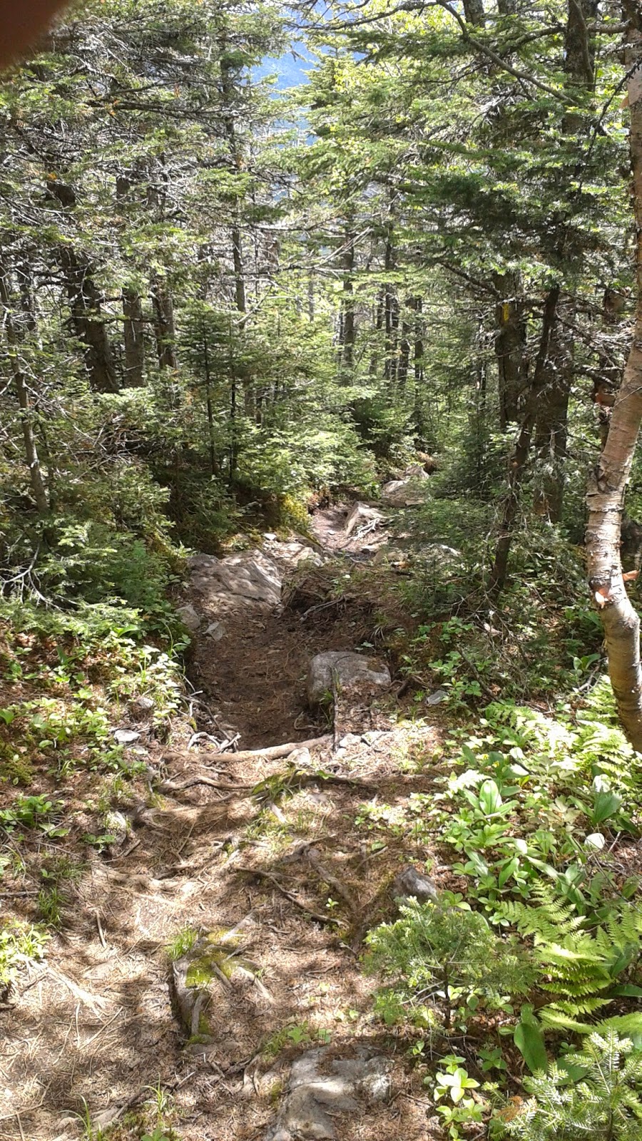
The last 500ft, I will not lie, even last half mile, Brutal on those with bad knees like myself, the incline. Ouch, I have hiked much longer trails, but this was the first time I can honestly say I felt my knees shaking. It's very level until you reach this point then its direct up, no if's ands or buts. The person I had ran into was walking with, was in his 60's said, he has done all of the 48 this was his favorite just for this reason. "The last 500ft feet will feel like the longest thing you have ever done" He says to me.
Looking down on the trail.
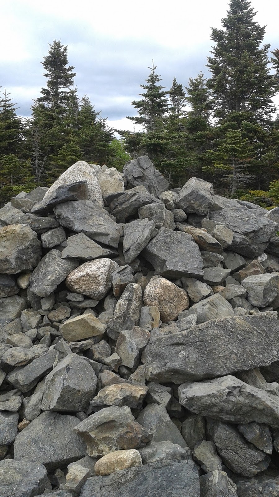
When you finally get to the summit, there isn't a marker, just a set of stones in a wide opening. Under the hot sun, I laid down, to bask in its warmth. One of my favorite things to do on a peak. Just sit there in quiet and see how close I am to the sky. Over look the world below and let balance come back. I guess everything settles itself out at that point.  And then I head back to the world..
Hale Peak Summit.

Overhead..life is good.

Friday, June 20, 2014

Mount Tecumseh

6-14-2014
  A nice trip upwards to  Waterville valley area. The lowest of all the 48, but really not a bad hike. Lower area of the trail is alot of rock with mini falls like the majority of the trails I have been on, not a giant incline at all, but a nice pace along the water, these are no where near Sage's falls but they are small and enjoyable.
Lower region of Tecumseh.
And let there be stairs...
This is a fairly short distance hike, about 5 miles round trip from the parking lot of Waterville. The lower half is friendly to the knees, easily crossed and not stressful at all. We managed to cover 1.8 miles on this lower trail in about an hour. Around mid area of this trail, it becomes my least favorite thing in the world, rock stairs, and i mean lots and lots of stairs. Knee killers to me, I dislike them greatly not because they are hard to climb, but after the 500th lift up a stair i wanted to punch myself in the face haha. There is a nice cut through view around, you can walk out to the boneyard on waterville. A old snowboard park/trail area, a very nice view and a good break from the stairs.
The Boneyard.

From the little trail section "View" you keep on going up more stairs, and a decent incline, this is where I found it to get muggy and I break a decent sweat, but as soon as you do it levels out, and you are on the path to the summit. There is a loop around trail to and fro summit wise, one is fairly slower moving the other you can steam roll. We took the harder of the two there, and the easier back. Summit wise there isn't a marker like other mountains just a sign, and a couple of rocks to sit on. A good view of the entire valley.
Woodstock Inn 4000 Footer IPA/ Myself and Ryan G.
We decided to swing across a ridgeline and hit waterville valley  mountain on the way down, we thought it might have been on the list and wanted to make sure, but it is slightly under the 4k mark, still a good fun walk down there trails. I did notice, there are tons of giant holes in waterville like people fall inside holes, it was very strange to me, but i assume before Ski season opens someone will fix/fill them. Waterville is not steep/ challenging or hard, but it is a pain on the knees, you have to keep yourself from running or moving forward to fast.
What no snow during the summer..bah.


Sunday, June 8, 2014

May 31st

Tough Mudder - A year in the works, I had everyone I love from CT with me for my first go on Mount Snow. I have hiked Mount Snow before several times, and the miles, I was not worried about what so ever. To me this was a 10 mile hike with family, and some mini events thrown in the mix. The weather was a touch on the cold, and grey skies at some points. Our 9:30 start time ended up at 10:20 due the massive amount of people running on saturday. I can't exactly remember the order of each obstacle, I know the ones that as a non swimmer were going to bother me were the Arctic Enema and Walk the Plank.  Both in this weather were brutal to me, but neither would make me feel I could not do it. Everyone i was with said the same simple thing, don't think just jump. And that's exactly what i did.
Holy Crap cold batman.


To be honest the only one I really felt I couldn't do was a simple climb a rope over a wall, it was mid way point, we had been waiting for 40 mins to get to the obstacle and in that cold I so lacked the upper body strenght and the desire to mark a trail over climb a wall was killing me ha. What I did enjoy about the entire event was the course went up down all around the mountain it was not one steady climb to the top, in fact it never reached the summit. The weather made the mountain extra muddy, over knee deep. It seriously was like walking in sludge, but super fun.
Keep on trucking.
Honestly this one was of the greatest experiences to date, and I plan on doing the one in Maine at the end of August as well. It pushes you to, dig deep, focus on each step, and climb over everything they throw in your way.With my family by myside out there, there was not even one hint of this is to tough, I will say after all was said and done, we got back to the hotel we all were staying at, I took a hot shower, and boom out like a light. Demanding on the body, and dehydration beat me, but I totally beat tough mudder, and will do so again. But this is what a year in the works, the legs were fine, the spirit was high, and I know i need to work on my upper body strenght.
Burns,Myk,Ian,Me,Bryan,Jessy,Tarik. 
And the best tough mudder team out there to date..Looking forward to Mount Snow again next year, and Maine in a few months.
Keep on walking folks.

Sunday, May 25, 2014

Mount Bear 5-24 (Tough Mudder warm up)

Forecast was for rain, but we all decided to go ahead on the 10 mile loop. We decided in advance to go at at slow pace, just for a warm up. The weather was perfect at start, not to hot not to cold. We advanced up the base to the AT trail that would lead direct to Bear Mountain peak. Everyone was in great spirits, and we all shared alot of laughs.
Here we go..
The majority of the trail was green from the last time i was here, alot of new cool plants and trees had sprung up. We saw lots of wildlife today, turkey vultures, deer, woodpeckers, froggies, even a Bear. Plus the Eye of Sauron, you think I kid, never says Doot. This trail had it all today.
Eye of Sauron Tree. 

Overall, we made 10 miles, in about 5 hours including a good long lunch break, lots of pictures, and my favorite staring over the peak. Sage's right now is pretty amazing, the water running from the long winter, has made the water falls flood from the sides, it's really pretty. Now is the time to get out there and about. Take good friends, lots of water the climate changes all various levels, at one point it was cold, then super muggy, I didn't really feel any heat till about the last mile, then it decided to rain. Pretty fun and cool down at the same time.
Sage's water falls.
Finally what everyone has been waiting for a picture of the peak, not alot of words today, I'm exhausted still after yesterday's hike. It was with great friends and good weather, next week Tough Mudder at Mount Snow. Now that will be a story to tell.....
And goodbye from Bear Peak.
Until next adventure..