Thursday, May 7, 2015

Saturday, October 25, 2014
Mount Washington Round 2
We started at night hiking up to Tuckerman's Ravine, my first actual night hike. I was a bit slow moving. Luckily it was only a 2.2 mile to our first shelter. The stars were out bright, and it was actually warm to start off. We made it to our first shelter and there was two guys taking time lapsed pictures, kinda neat. Tucks itself was not icey or slippery. It was a really enjoyable walk not very stressful. We unpacked, had some dinner and then hit bed for an early rise. (Note, from my hiking comrades, I snore now)

Next morning we got up at a respectable 8 am ish, had some snacks and headed up tucks, It was a very warm start, after we hit the pumps. Tucks wasn't so bad going up till we reached mid point, the temp started to drop and we could see ice formed on the falls. Pretty neat can't wait till I get up there during the winter. I was a bit moving slow going up, not really pain just slow moving today, had a full pack is much different than going with a day pack.
Boulder field was super slow moving, with ice and snow, but we still made decent time to the peak. Lot of people out mid afternoon hiking, which was suprising to me since it was kinda cold. More automile drivers wanting to get a sign picture but this go around, they were much more respectable for the hikers who put in the effort to get up there. Peak was cold, maybe 20's/30s tops but there was warm food and I had been looking for breakfest. This path I had taken before, so not to much new except slower movement to be safe. We were going over Mount Clay after lunch which was totally new, so i was excited.
 |
 |
| Doot,Nicky,Ian (Back row) Neil, Chris (Front row) |
Let me be upforward, I really enjoy hiking with this crew, Nicky is the happy go lucky singing person, Ian is the "Keep going one more hill", Chris is the first scout out ahead make sure we are going where we are going, and Neil is one of those this is the greatest ever days. Even though I lagged behind massively, I never felt Hey I'm hurting these guys. Mount Clay was amazing, well worth climbing up some massive rocks to get to, the view while not as Mount Washington amazing, had a pond sitting in the middle of the valley, some gliders rocking out in the sky. We were burning daylight but Neil/ Chris and Nicky headed ahead of us to get out before the sky fell dark, Ian stuck behind with me and we moved at the turtles pace i was going. While my body wasn't hurting to much going down Grey was intense, rock slippery (Yes I fell on my face), Ice covered, darkness lost. This section was tough, and I mean at the end after walking in darkness over some of the most crazy rocks I have ever seen, I was very happy to put feet on pavement. I hurt for two days after, lots of step downs, very very slippery. I can't imagine doing that in the later winter, I forsee snails pace and some spikes.
Flags on the 48 2014 Carter Dome Sept 13th
"The hiking community continues to honor the deceased with a tribute: flying the American flag atop all 48 four-thousand foot and higher mountains in New Hampshire on the weekend closest to September 11 each year. By demonstrating our steadfast unity in this challenging endeavor, we also hope to express our unwavering support to the families, friends and communities whose losses are beyond comprehension and whose suffering we remember in our hearts.
This year, my team decided to hike to Carter Dome (4,833 ft) by going over Mt. Hight. The hike was 10.4 miles long (which included a side trip to the Carter Notch Hut). We camped the night before in frigid temperatures (35 F!). The weather was overcast and by the time we got to Mt. Hight, the clouds were starting to roll in, however, we were still afforded amazing views of Mt. Washington, the Northern Presidential Mountains, the White Mountain National Forest to the west, Maine to the east, Carter Dome and the Wildcats to the south and Mt. Moriah to the north. We pressed on toward Carter Dome and helped to raise the ginormous American Flag that Shawn P. McLaughlin had brought along once again. We heard the Air National Guard helicopter fly over twice, however, the clouds had rolled in and we couldn't see them. Hopefully they saw us! Several other hikes stopped to say hello, including quite a few thru-hikers and even a nice couple who brought us all candy as a thank you! After a group picture and a moment of silence, we took the flag down and started the descent. On the way down, we were all caught in a little rain storm, but that didn't dampen our spirits! " Quoted by Carrie-Ann Labrecque.

This year, my team decided to hike to Carter Dome (4,833 ft) by going over Mt. Hight. The hike was 10.4 miles long (which included a side trip to the Carter Notch Hut). We camped the night before in frigid temperatures (35 F!). The weather was overcast and by the time we got to Mt. Hight, the clouds were starting to roll in, however, we were still afforded amazing views of Mt. Washington, the Northern Presidential Mountains, the White Mountain National Forest to the west, Maine to the east, Carter Dome and the Wildcats to the south and Mt. Moriah to the north. We pressed on toward Carter Dome and helped to raise the ginormous American Flag that Shawn P. McLaughlin had brought along once again. We heard the Air National Guard helicopter fly over twice, however, the clouds had rolled in and we couldn't see them. Hopefully they saw us! Several other hikes stopped to say hello, including quite a few thru-hikers and even a nice couple who brought us all candy as a thank you! After a group picture and a moment of silence, we took the flag down and started the descent. On the way down, we were all caught in a little rain storm, but that didn't dampen our spirits! " Quoted by Carrie-Ann Labrecque.
Tuesday, August 26, 2014
8/17 Mt. Jackson
Jackson, I took a coworker up for her first 48, she was an avid photographer, and honestly her talent exceeds mine ten fold. On to the mountain..Jackson, from all my weather reports 72 degrees sunny perfect day for a hike..weather disagrees, cold raining fun. Even the sky was not forgiving for the most part of the day. Whiteouts and fog, but you know what good company and a good trail, it doesn't matter.
The trails, were a mighty muddy, and wet, the trees and mushrooms vibriant with color. Lots of fallen trees, overflowing streams, and my favorite thing in the world, wet rocks and roots. The hike itself, i would consider on a normal day easy. This day even with things being a bit wet, not so bad. There is a sweet overlook of the AMC center, right at the start. I think this was the only clear view of any distance i got before things turned white with fog.
About half way up, we met this guy who was training to run the presidents for some challenge, i guess there is a timed how fast you can cross all of the presidents, I guess after seeing all 48 that might be amazing, but I hike not to rush but to surround myself with nature and find peace. After hearing his tale, we said our goodbyes and moved on up to the next trail to the peak.
From this sign its pretty, much lots of falling trees including across the path, some evil looking roots, and alot of fog. Deep mud, and spooky looking mushrooms, so pretty much what I'm saying its awesome. We got to the peak, its a straight shot up some rocks to the sign but you couldn't see anything five feet in front of you. The wind was cold and forceful, we got a picture and tried to head down to Webster, instead I took us the wrong way trying to get off the summit fast. I mean it was brutal cold winds. We ended up at the Mizpah spring hut, which added some miles on.
Overall a nice wet, crazy trail day, totally enjoyed it. Another 4000fter off the list.
 |
| 2.5 Miles no problem right... |
 |
| Amc center looking down plus Saco Lake |
 |
| Almost there! |
 |
| Stephen Kings the mist anyone? |
Keep going friends.
July 18th Seek the Peak Mt. Washington
My words here will be humbled, as this mountain made me aware of how small I am compared to the world. This was a fundraiser for the Obs, I had lots of great people and several companies donate to me, and i felt really good about how well I did. Bucklers, MJ Quaility tire, Charr Custom Boats, Kingman Yatch and a bunch of my friends all really kicked ass. We started early, and Ian who has hiked Washington before many times lead the way. It's great to do something like this with someone that knows pretty everything about outdoors in this world. A great teacher and friend, he took us up the Tuckermans Ravine trail.
The trail up to the base area is what you would expect, alot of rock, alot of water falls and 3 bridges, when you hit the last bridge you know you have about quarter of a mile till base. Where the real amazing views start, don't get me wrong I probelly took about a hundred pictures just on this little part but when you hit the base, you are like blown away in awe. So to kinda describe what happens, you come out of the woods, you see this mid area cabin, and boom, like a giant bolt of holy crap batman, you are surrounded. I seriously stopped in my tracks for a good view and was completely silent.
From there, you think wow, this can't get more amazing but friends, it does, we hiked up the trail after having a snack and some pictures of some mini falls, a bear bag, and working on how to better my macro shots. And headed towards Lunch rock, this was a semi tough trail, alot of gripping some tree limbs at points to pull yourself up, and a couple of steep step ups on rocks, but overall not what i was expecting. I thought this would be breakneck, toughest mother in the world. So far in my head so good. About half way through this there is a mini cave we sat down took some more pictures of the falls, yes I know I'm not showing you everything Washington needs to be explored..once in your lifetime go, if you do nothing else in life. Do this.
After you get through this area and hit the peak of Tuckerman's this is where the real pain actually starts, its called Boulder valley, and the reason is, every rock is a boulder the size of a volvo. This to me is why they say hardest mountain in new england, I struggled, long jumps and long strides put a beating on your knees. I think I actually said we needed to stop twice on this, and for me I rarely say hey slow down. Let's just say go slow, look at your next step, and don't rush easily you can hurt yourself.
After the boulder monsters, you hit the peak,where there are most likely alot of hikers who worked hard to get up there, but there is also people who drove up there. All wanting that Mt.Washington Sign picture. We had real food at the top, and refueled. We would take Lion's head down,which ment another round of boulders. Lion's head, looks over the entire valley, breathtaking, on our way down, we met some first time hikers from all over who looked lost and ended up leading them down. Made new friends on the way down, and hopefully when they get back out to new england we can meet up and take them on another adventure. Imagine that, your first hike, you take on the hardest in new england, that just rules.
 |
| Here we go! |
 |
| Hillman's in the background. |
 |
| Ian, shortly before Lunch Rock and the cave area. |
 |
| Lower part of Boulder, its gets harder. |
To sum up this day, Hike Washington, do Seek the Peak, make a difference, bring your friends, your adventure is waiting for you..
Monday, July 7, 2014
Mount Cannon July 6th
9 Am meet up at the tram parking lot to start off, this trail is rated moderate due to slippery gravel, but honestly this has been the easiest out of all the ones I have done. I enjoyed the pace, there was only one section which i slide on, and that was on the way down, wet rocks and sneakers, not so good of a mix. The views from Cannon are breath taking, but the trail itself isn't anything crazy to write about. This is 100 percently a great trail to take people new to hiking on. You get some amazing distance views as well as not alot of pressure on any part of the legs. No giant inclines that make you go this feels steep, the trail itself took us maybe an hour and a half and that was taking alot of time for pictures and small talk. I had great company in my friend Michelle who is working on the 48 herself, so knocking out one with her was a blast.
There are alot of little neat stop and view area's on the way up, great view of the pond, the parking lot and 93, plus pretty much every surrounding range in the distance. From Old man to the Summit, you climb over alot of muddy region, but nothing you need to worry about, step on the rocks, and branchs, and you are golden. The incline from the mud to the tower is very short, and I felt very good about it. You have a killer view as you go up looking down on everything.
Finally the "peak" label is behind roped off area, but its two steps in you can see, it and walk to it, which makes this hike done! A great time, I would say anyone starting off should consider this as a knock out first timer. As always keep on walking...
 If you take anything away from this post...i want you to take this away with you....best bench ever...
 |
| On top of Old man on the Mountain. |
 |
| Looking down, close to the tower |
 |
| This is how i feel about all my friends.. |
Sunday, June 22, 2014
Mount Hale 6-21-14
Mount Hale, is actually a bit of a ride for me, left the cape at 7am arriving at the beginning of the trail around 11, granted, I had several stops on the way to, almost a three and a half hour drive. Hale is right down the street from Brentton woods, so i kinda get easy directions, even if the GPS lied to me and got me lost once...or twice.
Let us begin my friends...Hale Brook Trail, starts actually very mild, slow even. But it has alot of mini brooks running through it. The entire surrounding area is green, you feel like you are in a lush area. Lots of falling trees and brooks, most of the brooks have nothing to cross then, you are rock jumping or finding a falling tree. Which to me is fine, nothing like a natural trail. If i recall correctly there was only one or maybe two sets of wooden steps, for the first two miles.
What I did enjoy about this trail alot, no rooted trails, as most of my hiking friends will say, I trip on roots or rock, wet roots, wet rocks, makes Doot fall on his face. Sand, gravel, pretty much all the way up to the top. There are some rock switch backs here and there, this used to be an old donkey trail according to locals. Lots and lots of stuff to look at, falling trees, flowers, and brooks.
The last 500ft, I will not lie, even last half mile, Brutal on those with bad knees like myself, the incline. Ouch, I have hiked much longer trails, but this was the first time I can honestly say I felt my knees shaking. It's very level until you reach this point then its direct up, no if's ands or buts. The person I had ran into was walking with, was in his 60's said, he has done all of the 48 this was his favorite just for this reason. "The last 500ft feet will feel like the longest thing you have ever done" He says to me.
When you finally get to the summit, there isn't a marker, just a set of stones in a wide opening. Under the hot sun, I laid down, to bask in its warmth. One of my favorite things to do on a peak. Just sit there in quiet and see how close I am to the sky. Over look the world below and let balance come back. I guess everything settles itself out at that point. And then I head back to the world..
Let us begin my friends...Hale Brook Trail, starts actually very mild, slow even. But it has alot of mini brooks running through it. The entire surrounding area is green, you feel like you are in a lush area. Lots of falling trees and brooks, most of the brooks have nothing to cross then, you are rock jumping or finding a falling tree. Which to me is fine, nothing like a natural trail. If i recall correctly there was only one or maybe two sets of wooden steps, for the first two miles.
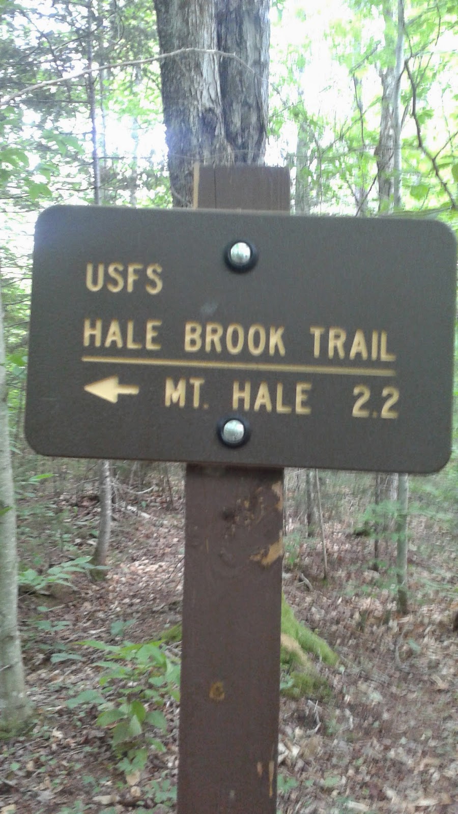 | |
| Not a bad walk on a saturday. |
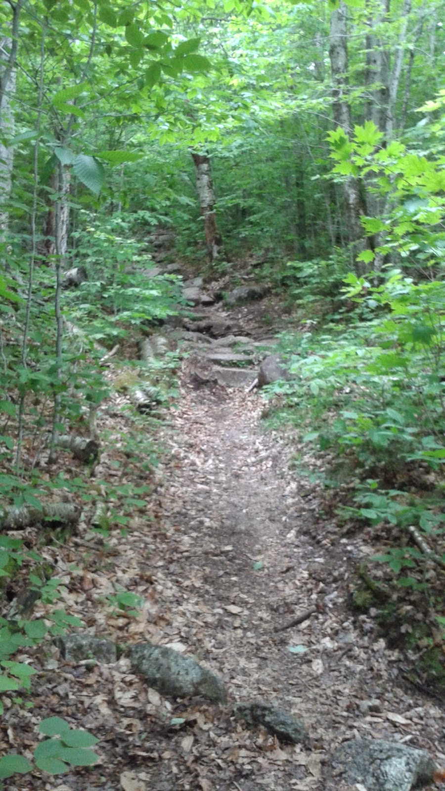 | |
| This it basically the make up of the entire trail. |
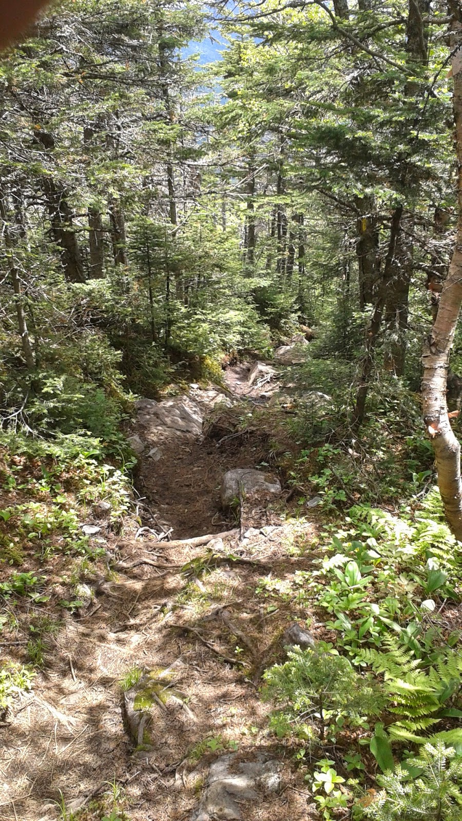 |
| Looking down on the trail. |
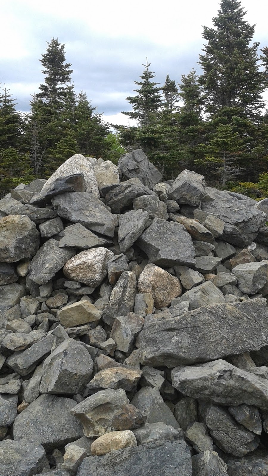 |
| Hale Peak Summit. |
 |
| Overhead..life is good. |
Subscribe to:
Posts (Atom)